• MONITORING
  • MAPPING
    • Home
    • About
      • About Us
      • Our Team
      • News & Views
      • Events
      • Sustainability and the Environment
      • Case Studies
      • Careers
      • Contact Us
    • Industries
      • Ports and Harbours
      • Maritime Pilotage
      • Bridges and Inland Waterways
      • Offshore Renewables
      • Governments and Agencies
      • Case Studies
    • Compliance
      • Compliance Overview
      • Marine Data Management
      • Asset Management System
      • Spatial Data Management & GIS
      • Our Courses
    • Training
      • Our Courses
      • Data Management
      • Data Management for Ports
      • Data Management, Governance and MEDIN toolset
      • Data Management and Marine Spatial Data Infrastructure (SDI)
      • Technical Training
    • Partners
      • Licenced Partners
      • Partner’s Resource Hub
    • Support
      • Resources
      • Support
      • Contact Us
banner

OceanWise welcomes representatives from the Oman National Hydrographic team to Alton

By Katie Edies 3rd February,2026

OceanWise welcomes representatives from the Oman National Hydrographic team to Alton

OceanWise Global > News & Projects > Uncategorised > OceanWise welcomes representatives from the Oman National Hydrographic team to Alton

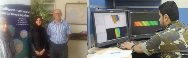
Images: Above left OceanWise Managing Director Mike Osborne with Fatma and Nuha from the Oman National Hydrographic Office at the OceanWise office. Above right: Hydrographic Data Analysis being undertaken in Oman, source: AlWatan Newspaper

In June we welcomed two representatives from the Oman National Hydrographic Office to Alton, both of whom are currently undertaking their Masters Degree (MSC) in GIS in the UK and wanted to spend time with the OceanWise team to gain an understanding of how we support the development and implementation of a Marine Spatial Data Infrastructure (MSDI).

The Omani Hydrographic office and the Directorate of Hydrography β€œis concerned in enhancing the safety of maritime navigation through cooperation with the government authorities and organizations and committees of same concern internally, regionally and internationally.”

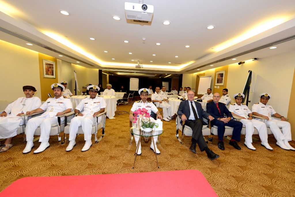
This recent visit follows two training workshops on Data Management and Marine Spatial Data Infrastructure (MSDI) which we delivered to the Royal Navy of Oman (RNO) and the Oman National Hydrographic Office (ONHO) in 2013. The workshops examined the development, role and contribution of marine data to the Oman National SDI programme which was being developed. Decision makers from the ONHO, RNO, National Survey Authorities (NSA), Public Authority for Climatic Affairs (PACA), National Centre for Spatial Infrastructure (NCSI) and Department of Environment attended the courses providing a broad perspective on shared working and co-operation. See full news item here

Please see our courses page for more details on the training courses we can provide

For a free copy of white paper on MSDI – please email info@oceanwise.eu.

View all Guides and insights

About Us

f 𝕏 in πŸ“·

Services

  • Environmental Monitoring
  • Port-Log Data Platform
  • Marine Mapping
  • Spatial Data & GIS
  • Training Courses
  • Compliance
  • Asset Management System

Company

  • News & Projects
  • Events
  • Newsletters
  • About Us
  • Partners
  • Our Team
  • Sustainability and the Environment
  • Careers

Resources

  • Contact Us
  • Brochures, Data Sheets and Guides
  • Monitoring Support
  • Mapping Support
  • Case Studies

Newsletter

Subscribe to our newsletter for updates and exclusive content.

© 2025 Oceanwise. All rights reserved.

Privacy Policy | Terms of Service | Cookie Policy

Β© OceanWise 2024. OceanWise Limited is an independent company specialising in marine environmental data acquisition, management, publishing and GIS.
Registrar of Companies of England and Wales No. 7206926 and Companies Registration Office Ireland No. 641571.

Terms & Conditions | Privacy Notice | Contact Us

OceanWise HelpBot

Still need help?
This site uses cookies: Find out more.